Google is blurring satellite imagery of Israel
Despite the expiration of a US law paving the way for clearer satellite images of Israel, Google is reverting back to lower-quality, blurry images across the country

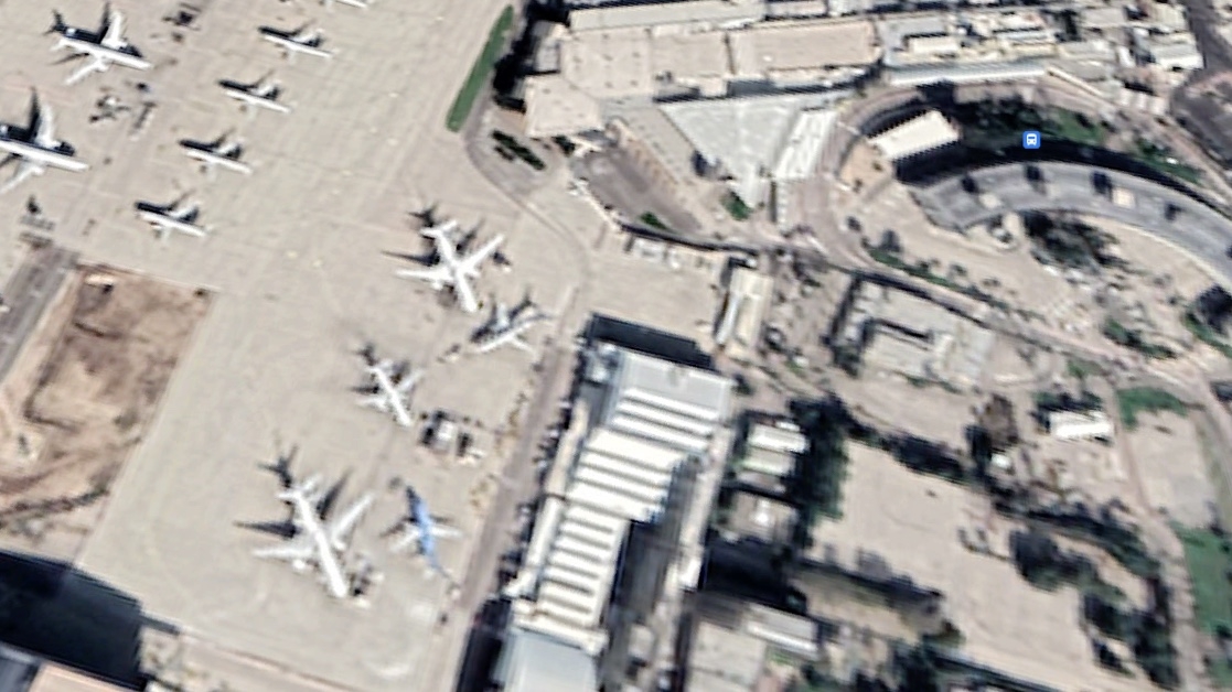
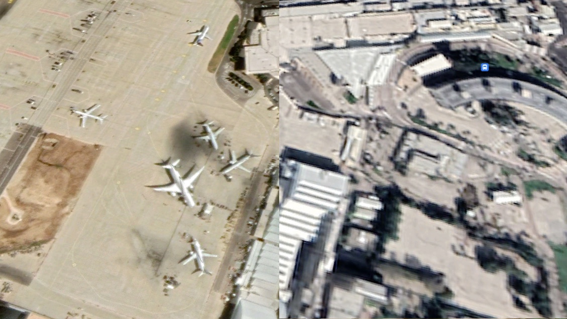
Google has started to display lower-resolution satellite imagery in some parts of Israel, removing previously shown higher-quality images without giving a reason for doing so.
US commercial imagery of Israel and the occupied Palestinian territories was restricted in 1997 after US Congress passed the Kyl-Bingaman Amendment, which barred the resolution of satellite imagery of the area to two metres per pixel under the guise of protecting Israel’s national security.
This means that buildings and streets showed up blurry and were difficult to identify.
The legislation's ban expired two years ago and since then Google had updated its imagery of Israel with higher quality resolutions - except in Gaza and parts of the West Bank where Google continued to display low-quality imagery.
Now, for an unknown reason, Google has again begun displaying lower-quality imagery across swathes of Israel. Haaretz first reported that Google had updated its maps of Israel with pixelated images.
Google did not respond to Middle East Eye's request for comment by the time of publication.
Places like Ben Gurion Airport, the main international airport of Israel, now appear blurry on Google Maps and Google Earth, compared to earlier this year.
However, in other parts of Israel, like the port in Haifa, Google kept its high-resolution imagery up while other parts have not been updated for years, even after the expiration of the Kyl-Bingaman Amendment.
Last year, during Israel's bombardment of Gaza in May, conflict researchers reported issues with Google not updating its maps services of the besieged Strip despite having offered better quality images throughout Israel. The lack of clear images made it difficult to determine which buildings had been bombed as a result of Israeli air strikes. To this day, Google has not updated its satellite imagery of Gaza.
In many of the world's most secretive places, Google's two services - Google Maps and Google Earth - are able to provide clear images of the area. For example, images of the North Korean capital, Pyongyang, are detailed enough to see people walking on the streets.
Google at the time told MEE that it considers "opportunities to refresh our satellite imagery as higher resolution imagery becomes available" but that it had "no plans to share" at the time.
Still, viewers are able to look at the higher-resolution imagery of Israel that was taken down by downloading the Google Earth application, and the Survey of Israel’s official website itself has higher-quality satellite images available.
The new and lower-quality imagery comes a year after Google announced a $1.2bn contract with Israel, in which it would provide cloud services to the Israeli government.
Hundreds of employees at the tech giant have come out in protest of the contract, raising concerns they would be helping facilitate and advance what they call Israeli apartheid. Training materials leaked to the Intercept show the project will see Google provide advanced artificial intelligence and machine-learning capabilities to the Israeli government.
https://www.middleeasteye.net/news/google-blurring-satellite-imagery-israel


0 Comments:
Post a Comment
Subscribe to Post Comments [Atom]
<< Home